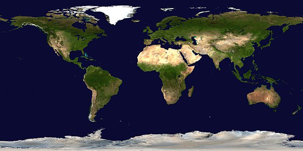
Blue Marble was initially created by NASA's Goddard Space Flight Center, the night lights by NOAA's National Geophysical Data Center.
More info on the
- features of this site
- night lights (read a newsbit about them and this site as published in Science Magazine)
- Blue Marble picture (at NASA, incl. downloads)
» Click here to browse recent night-time imagery with Google Maps «
↓ To start, click on your intended destination: ↓
Note: After clicking, you will be viewing a large area – click in its centre to zoom in (and back out).